Challenges We Solve
Understanding the hurdles in accurate land surveying and planning.
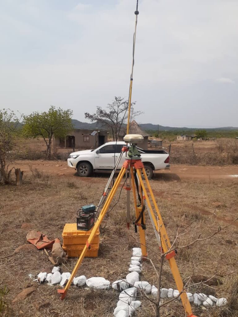
Comprehensive Geospatial Solutions
Addressing your land surveying and planning needs with precision.

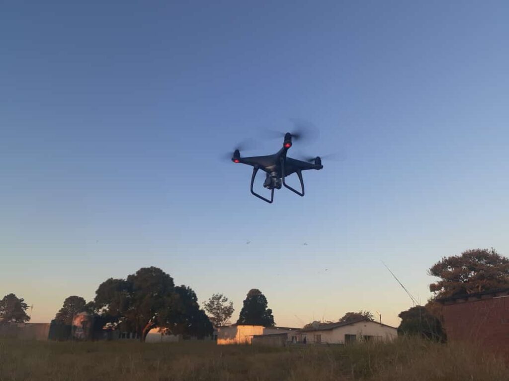
Drone Surveys
Highly accurate aerial data capture

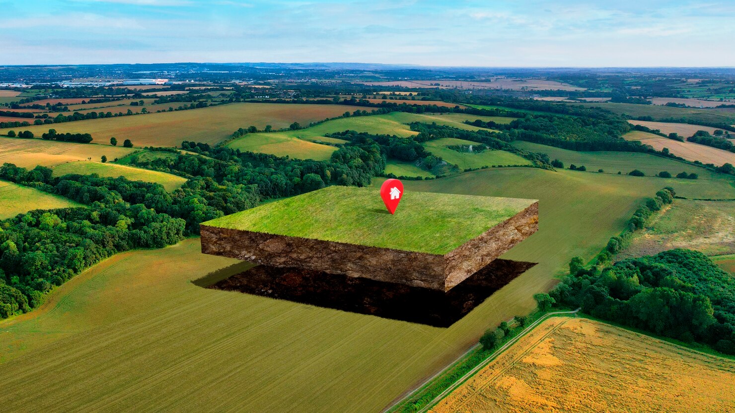
3D Modelling
Visualize projects with precision

Geospatial Consultancy
Expert guidance on spatial data
Our Successful Journey

Ready for Improvement?
Take the first step towards accurate geospatial solutions.
Call Us At:
+263 777355622 / +263 774137772
Benefits of Choosing Us
Discover the advantages our services offer to elevate your projects.
Efficiency Boost
Save time and resources with our efficient land surveying methods.
Accurate Data
Receive reliable data for informed decision-making processes.
Cost-effective Solutions
Benefit from high-quality services at affordable rates for your projects.


Ready to Start Your Project? Contact Us Now
OR Call Us At:
